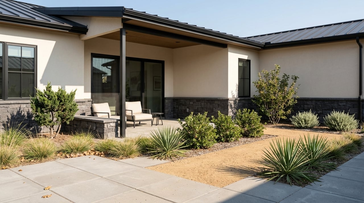
Dreaming of a place where you can lace up, roll out, or take the kids to a splash pad without leaving town? In Castle Rock, everyday life blends with foothills scenery and a trail network that makes it easy to get outside before dinner or plan a full Saturday on singletrack. If you value fresh air and low‑stress access to parks, you’ll feel right at home here.
In this guide, you’ll find the top parks and trails, how they connect to neighborhoods, key rules to know, and a few easy day trips. You’ll also get tips for planning safe, fun outings year‑round. Let’s dive in.
Why Castle Rock is an outdoor hub
Castle Rock manages an impressive network of open space, parks, and paths that reach into nearly every part of town. The Town reports it maintains 104 miles of trails, 25 parks, and more than 4,000 acres of open space. Through partnerships, residents can access over 130 miles of trails and more than 6,900 acres across the area. You can browse maps, permitted uses, and updates on the Town of Castle Rock’s Parks, Open Space & Trails page.
Trail options range from paved multi‑use paths for family rides and daily walks to soft‑surface singletrack loops that draw hikers, mountain bikers, and trail runners. Many routes connect neighborhoods directly to open space, so you can often start your adventure right from your block.
Signature parks and trails
Philip S. Miller Park
This 300‑acre regional park is Castle Rock’s go‑to spot for active families and outdoor enthusiasts. You’ll find an amphitheater, plaza areas, the Miller Activity Complex, and seasonal splash features. On the trails side, the park offers about 8 miles of native‑surface singletrack spread across four interconnected loops plus about 1 mile of paved, accessible path. Challenge Hill’s 200 steps deliver a quick 178‑foot workout with views at the top. Learn more and check amenities on the Philip S. Miller Park page.
What you’ll like:
- A little bit of everything in one place, from playgrounds to trail loops
- Direct connections into the broader town trail system
- Year‑round fitness options, including the popular stair climb
Ridgeline Open Space
Ridgeline spreads across roughly 367 acres with about 13.5 miles of native‑surface trails, including the Stewart Trail outer loop at about 9.5 miles and several shorter colored loops. It is a favorite for hikers and mountain bikers who want rolling terrain, views, and quick access from surrounding neighborhoods. Volunteer groups help maintain the network, and you can park at Bison Park or the Coachline Road trailhead. Get details and access points on the Ridgeline Open Space and Trails page.
What you’ll like:
- Mix of loop options for different distances and time windows
- Singletrack that stays engaging without feeling technical
- Neighborhood connectors for easy, car‑free outings
East Plum Creek Trail
If you want a paved, multi‑use path, this is your spine through town. The East Plum Creek Trail is a 10‑foot‑wide paved corridor that runs about 8.7 miles, linking parks, habitat overlooks, and multiple access points, including Meadows Parkway, Festival Park, and school areas. Walk, run, or take a low‑stress family ride while getting to know Castle Rock from a fresh angle. For the full route and access points, use the official East Plum Creek Trail map.
What you’ll like:
- Smooth surface for strollers, bikes, and daily fitness
- Creekside views and interpretive stops
- Convenient parking and on‑ramps throughout town
Rock Park
Rock Park delivers a short but steep hike right in downtown. The native‑surface loop totals about 1.6 miles with a climb to the Castle Rock outcrop. Expect a firm workout and rewarding views from the top. Parking is limited around Front Street and the Castle View picnic area, so go early, and note that bikes are not permitted on singletrack segments here. Preview the route on the Rock Park trail map.
What you’ll like:
- Quick, scenic climb minutes from downtown
- A classic local landmark perfect for visiting friends and family
- A focused workout when you only have 45 minutes
Rhyolite Regional Park and Quarry Mesa
On Castle Rock’s south side near Crystal Valley Parkway, Rhyolite Regional Park pairs organized amenities with a dedicated bike‑skills area. You’ll find a paved loop, playgrounds, disc golf, and features designed to build confidence on two wheels. Just uphill, the Quarry Mesa loop is a native‑surface route of about 3.1 miles with broad views across town. As with many Front Range mesas, rattlesnakes are part of the ecosystem, so keep dogs leashed and stay aware.
What you’ll like:
- Skill‑building options plus a mellow paved loop at Rhyolite
- A rewarding mesa loop with big‑sky vistas on Quarry Mesa
- Easy access from newer neighborhoods on the south side
Gateway Mesa and the Legacy Trail
On the east side near Founders Village, Gateway Mesa Open Space offers hiking‑only loops, including Chuck’s Loop at about 1.6 miles and the Legacy Trail segments that connect into Mitchell Creek and Founders Park routes. This is a great pick when you want a thoughtful hike without bike traffic. It also connects you to longer neighborhood walks.
What you’ll like:
- Foot‑only trails for a relaxed hiking experience
- Proximity to Founders Village and neighborhood paths
- Oak, grassland, and mesa views that feel a world away from town
Easy day trips for more variety
Castlewood Canyon State Park
Just east of Castle Rock near Franktown, Castlewood Canyon State Park features about 12 miles of trails that range from short paved options to longer canyon routes. Highlights include scenic overlooks, rock‑climbing access in designated areas, and the historic Castlewood Dam ruins. State parks require a day or annual pass, and bicycles are limited mostly to roads and the Cherry Creek Regional Trail, with most named trails reserved for hikers. Check current fees, trail details, and seasonal rules on the Castlewood Canyon trails page.
Douglas County open spaces
Douglas County manages a rich network of nearby properties that expand your choices, including Dawson Butte, Greenland Open Space, Glendale Farm, and more. Many offer multi‑use trails, equestrian access, and designated off‑leash areas at specific sites. Dawson Butte, for example, features a perimeter loop of about 5 miles with bridle paths and forest edges. For permitted uses, dog rules, and site maps, visit Douglas County’s open space properties page.
Rules, safety, and smart planning
A little planning goes a long way toward a smooth outing. Keep these points in mind:
Dogs and leashes. On Town of Castle Rock trails, dogs must be leashed, and the Town does not maintain an off‑leash dog park. Some Douglas County properties offer off‑leash areas, so check site‑specific rules before you go. Review current dog policies and local FAQs on the Town FAQ page.
E‑bikes. The Town permits Class 1 and Class 2 e‑bikes on Town bike, pedestrian, and multi‑use paths. Class 3 e‑bikes are restricted from those paths, and off‑highway vehicles are not allowed on most Town trails or streets. For the latest ordinance language, check the Town FAQ page as well.
Trail conditions. Stay off soft‑surface trails when muddy to prevent damage. The Parks, Open Space & Trails page links to conditions and closures so you can choose the best route.
Wildlife awareness. This is the Front Range. You may encounter rattlesnakes on mesa trails and see signs of black bears or mountain lions in the region. Keep dogs close, carry water, watch for wildlife, and stay on marked trails.
State park passes. Castlewood Canyon is a state park and requires a daily or annual pass. Fees and seasonal restrictions change, so confirm details before you head out.
How trails connect to neighborhoods
One of Castle Rock’s strengths is how well parks and open space tie into daily life. Here are a few examples to help you picture access as you consider different parts of town.
The Meadows and Ridgeline
Ridgeline Open Space acts as a natural spine for The Meadows area, with paved neighborhood connectors leading to multiple trailheads. Families can reach singletrack or hop onto paved routes for a quick fitness loop without loading the car. The proximity to Red Hawk and Philip S. Miller Park adds even more variety.
Founders Village and Gateway Mesa
Founders Village is linked to Gateway Mesa through the Mitchell Creek and Founders Park trails. That gives you hiking‑only loops on the mesa when you want a quieter walk, plus neighborhood paths for everyday rides and runs.
Crystal Valley and Rhyolite/Quarry Mesa
On the south side near Crystal Valley Parkway, Rhyolite Regional Park serves as the main multi‑use and bike‑skills hub, while Quarry Mesa offers a scenic loop right above it. If you like to switch between family play time and a quick trail run, this cluster is convenient.
Downtown Castle Rock and Rock Park
Downtown residents and visitors often pair dining and errands with a short hike at Rock Park. The loop is close to the core of town, so you can squeeze in a climb for views and be back in minutes. Keep an eye on parking limits and arrive early.
Quick picks for your weekend
- Family‑friendly paved ride or walk: East Plum Creek Trail, about 8.7 miles of wide, smooth path with creek views.
- Short but steep downtown hike: Rock Park’s 1.6‑mile loop to the Castle Rock outcrop.
- Singletrack sampler close to neighborhoods: Ridgeline Open Space loops.
- Skill building with the kids: Rhyolite Regional Park’s bike‑skills area plus paved loop.
- Big‑view mesa to clear your head: Quarry Mesa loop above Crystal Valley.
For maps, permitted uses, and live updates, start with the Town’s Parks, Open Space & Trails page. Then plan your route and pack water, sun protection, and a light layer.
Ready to make this your backyard?
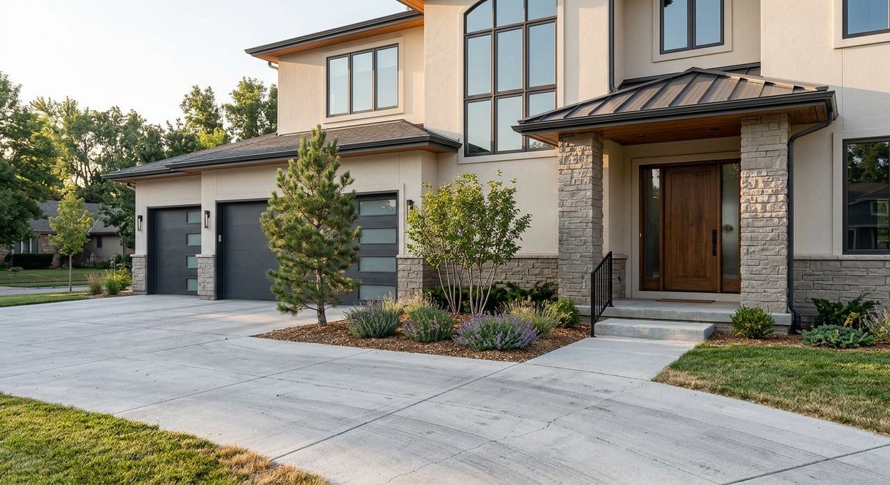
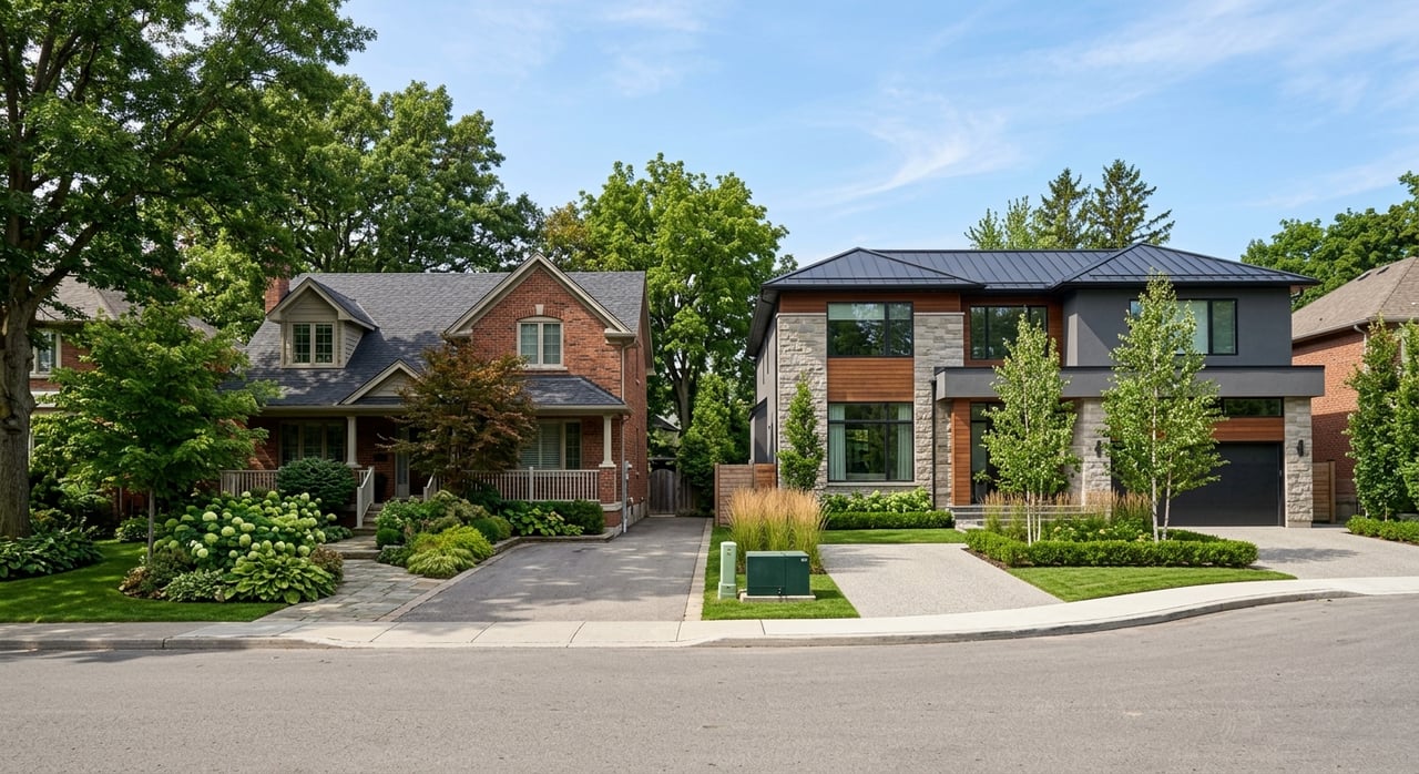
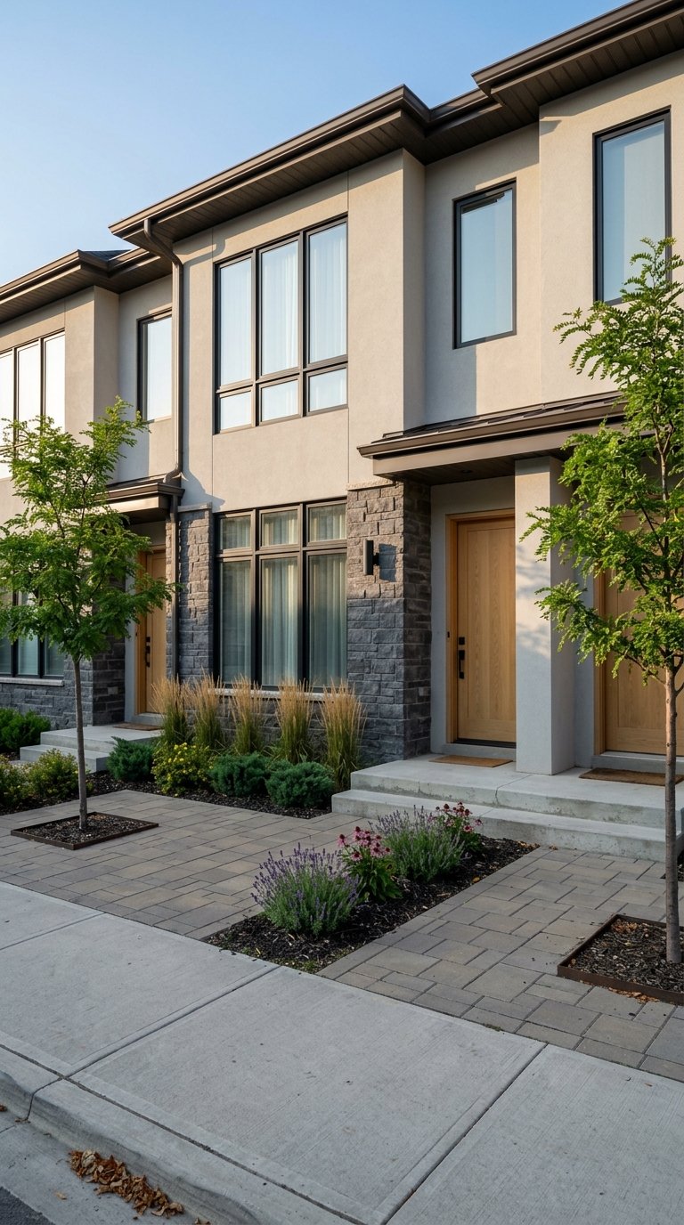
If outdoor time is high on your wish list, Castle Rock checks the boxes with paved spines, mesa loops, and regional day trips that keep weekends fresh. When you are weighing neighborhoods, consider how you like to get outside. Do you want a paved path from the front door, singletrack around the corner, or a quick drive to a state park? A local guide can help you match daily routines with the right streets and communities.
Curious what’s on the market near your favorite trails or need help narrowing your search? Reach out to The Real Estate Experts of Denver to talk through options and next steps.
FAQs
What are the best family‑friendly trails in Castle Rock?
- For strollers and bikes, the paved East Plum Creek Trail offers about 8.7 miles with multiple access points and gentle grades.
Are e‑bikes allowed on Castle Rock trails?
- The Town permits Class 1 and 2 e‑bikes on Town bike, pedestrian, and multi‑use paths, while Class 3 is restricted; confirm details on the Town FAQ page.
Where can I take my dog off‑leash near Castle Rock?
- The Town requires leashes on Town trails; Douglas County operates select off‑leash areas on county open space sites, so check the county’s property pages before you go.
What is a good short hike near downtown Castle Rock?
- Rock Park’s 1.6‑mile loop climbs to the Castle Rock outcrop for views and a focused workout; parking is limited, so go early.
Do state parks near Castle Rock require fees?
- Yes. Castlewood Canyon State Park requires a daily or annual pass; check the park’s current fees and trail rules before visiting.
Which neighborhoods have quick access to singletrack?
- The Meadows connects directly to Ridgeline Open Space, and Crystal Valley is close to Rhyolite Regional Park and Quarry Mesa, giving you easy options for trail runs and rides.